Survey and mapping for projects
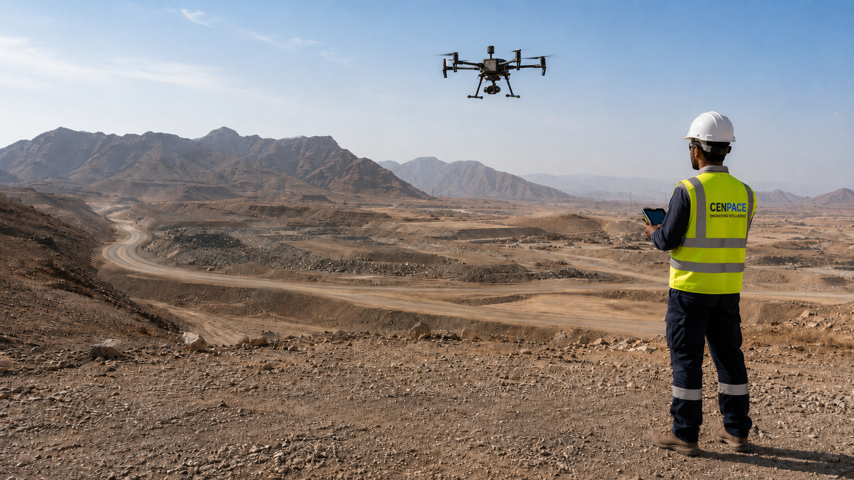
Cenpace delivers topographic survey using fixed-wing and multirotor UAVs combined with RTK/GNSS ground control. Accurate ground data underpins drainage design, cut and fill calculations, route alignment and EPC planning.
Deliverables are produced in industry-standard formats for direct use in AutoCAD, Civil 3D, ArcGIS and QGIS.
What we deliver
✓
Orthomosaic imagery (GeoTIFF)
✓
Digital Terrain Model (DTM) — bare earth
✓
Digital Surface Model (DSM)
✓
Contour lines (0.25 m, 0.5 m, 1 m)
✓
Cut and fill / volumetric analysis
✓
CAD topographic drawing (DWG/DXF)
✓
GIS shapefile layers (SHP, GeoPackage)
✓
GCP survey report and accuracy certificate
✓
Construction as-built survey
Applications
Solar farm site survey
Wind project terrain mapping
Oil & gas pipeline corridor
Road corridor survey
Industrial plant site survey
Mining site volumetrics
Powerline corridor mapping
BESS site survey
Government infrastructure
Survey process
01
Planning & mobilisation
Site boundaries confirmed, flight plan designed, GCP strategy agreed. CAA clearance obtained where required.
02
Ground control survey
RTK GPS used to survey ground control points distributed across the site. Checkpoints placed for accuracy verification.
03
UAV data capture
Fixed-wing or multirotor UAV flown at agreed altitude and overlap. Raw imagery captured with embedded GPS.
04
Processing & QA
Photogrammetric processing produces point cloud, DTM, DSM and orthomosaic. GCP corrections applied and accuracy verified.
05
Deliverable production
CAD drawings, contours, GIS layers and accuracy report compiled and delivered in agreed formats.
Relevant experience
Field Engineering
Topographic Survey for Energy Site
Scope
RTK/GNSS control, UAV mapping, orthomosaic, DEM/DTM, contours and GIS/CAD deliverables.
Frequently asked questions
What accuracy can we expect?
+
GCP-controlled UAV photogrammetry typically achieves 2–5 cm horizontal and 3–8 cm vertical accuracy. An accuracy report is provided with every project.
What file formats are deliverables provided in?
+
Standard formats: GeoTIFF orthomosaic, DWG/DXF topographic drawing, SHP or GeoPackage GIS layers, LAS/LAZ point cloud and PDF accuracy report. Additional formats on request.
How large a site can you survey per mobilisation?
+
Fixed-wing UAVs cover 500–2,000 hectares per day depending on terrain. Large sites are surveyed in planned blocks across multiple days.
Can you deliver into our existing GIS or CAD environment?
+
Yes. We confirm coordinate reference system and layer naming before delivery. Data is projected into any UTM zone or local grid used.