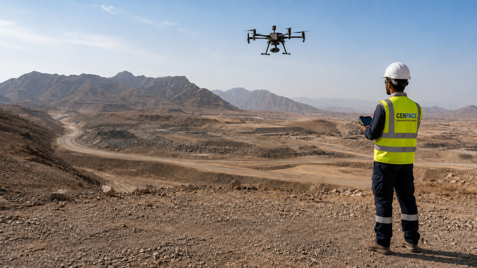
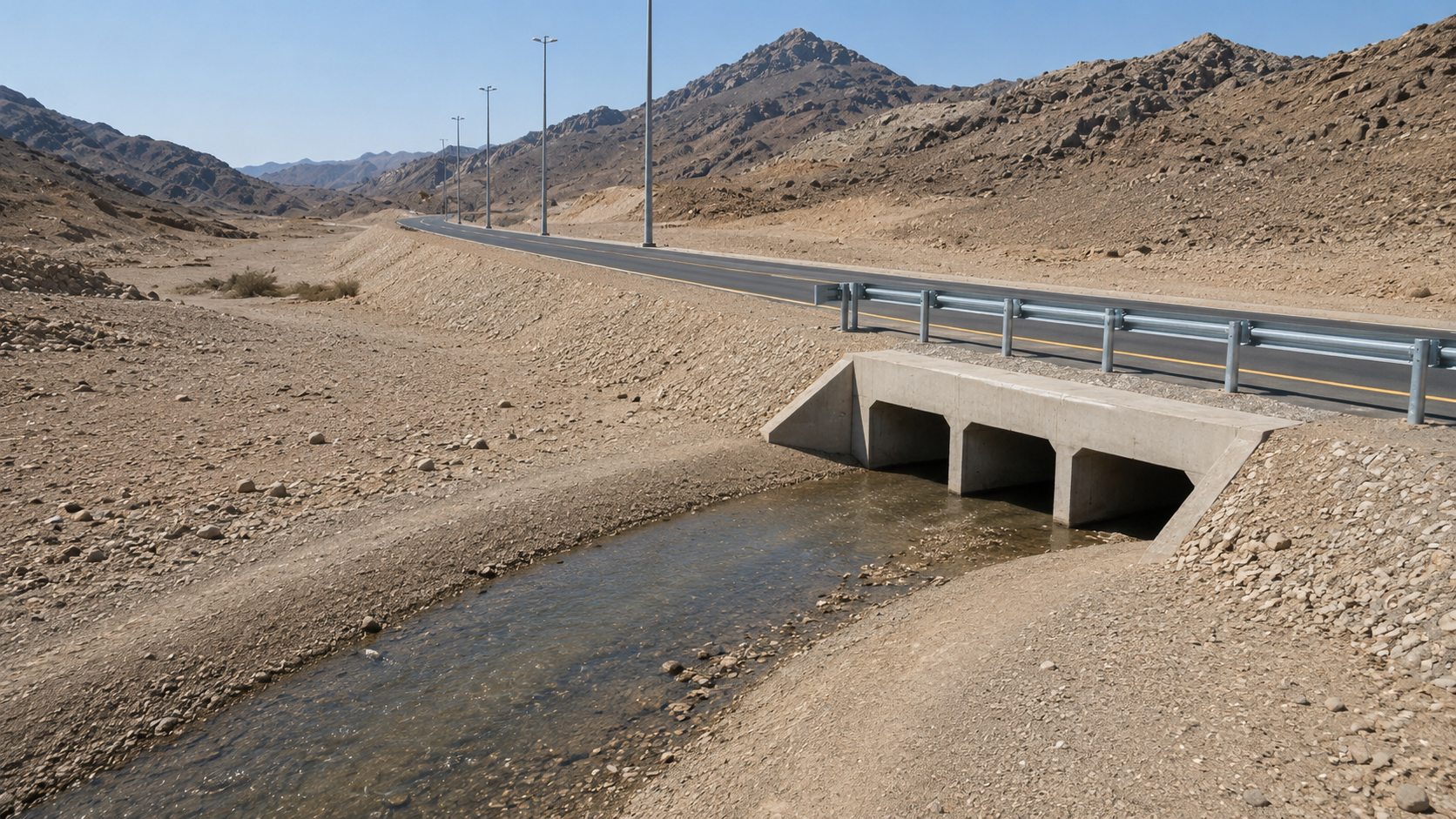
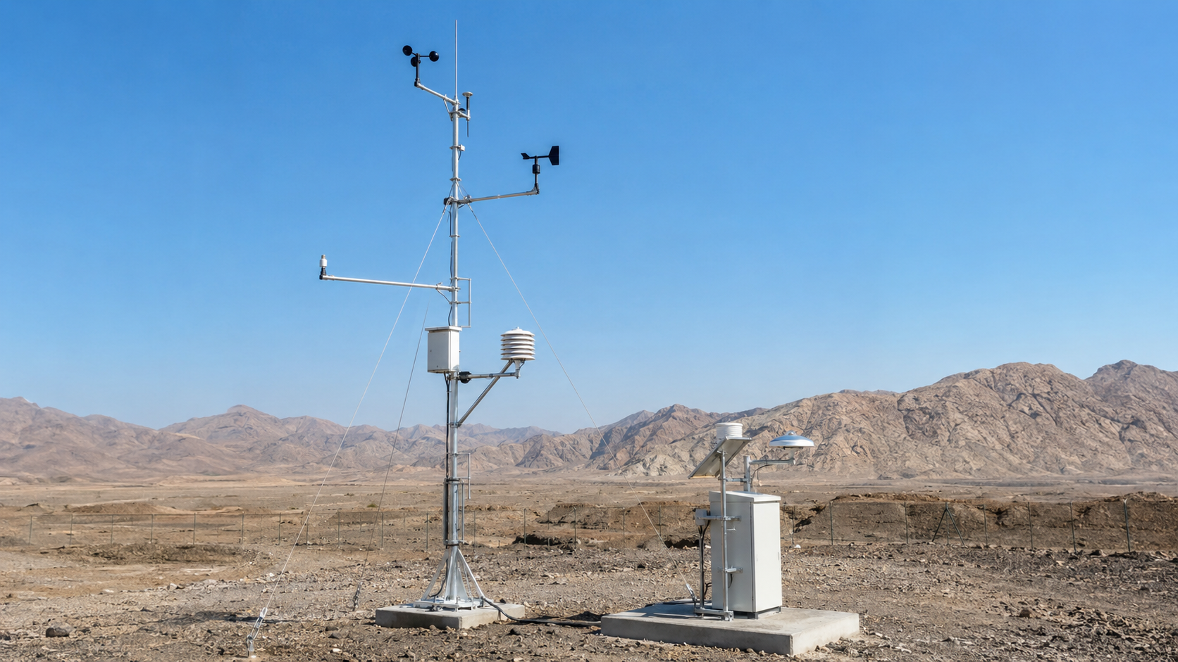
Cenpace delivers field surveys, inspection, monitoring and technical analysis for energy, infrastructure, industrial and road projects across Saudi Arabia.
Field-deployed capabilities across survey, inspection, hydrology and monitoring.
UAV photogrammetry, RTK/GNSS ground survey and GIS-ready deliverables for energy, roads and industrial sites.
View service →
Wadi analysis, flood risk mapping and drainage design support for roads, energy and infrastructure projects.
View service →
RGB, thermal and visual drone inspection for oil & gas assets, powerlines, wind towers, industrial facilities and infrastructure.
View service →
Hotspot detection, bypass diode mapping, soiling assessment and structured O&M reporting.
View service →
Met mast and AWS supply, installation, commissioning, data validation and wind & solar resource reports.
View service →
Road drainage design, wadi crossing assessment, slope stability and terrain engineering support.
View service →Local teams with strong understanding of terrain, wadi behaviour and project site conditions across Saudi Arabia.
Reports, drawings and datasets prepared for direct use by EPCs, consultants, independent engineers and asset owners.
Survey, hydrology, inspection and monitoring services delivered through one coordinated technical team.
Your project is handled directly by the specialists who scope, execute and deliver the work.
Technical outputs structured to support tendering, design review, construction verification, handover and project decisions.
Experience across renewable energy, infrastructure, industrial and utility projects in Saudi Arabia and internationally.
From wadi crossings to solar farms — our teams operate across some of the most demanding terrain.